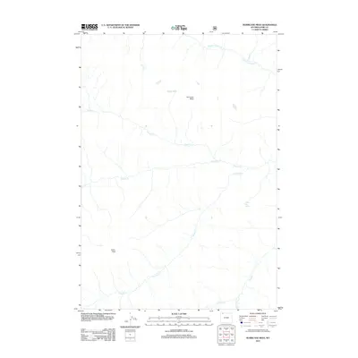
2012 Map of Hurricane Mesa
USGS Topo · Published 2012About this map
Hurricane Mesa dominates this high-elevation landscape in Park County, providing a stark topographical anchor for the surrounding drainage systems. The terrain is defined by a complex network of seasonal and perennial waterways that carve through the high country, including Crandall Cr and its northern tributary, N Fork Crandall Cr. This 2012 survey illustrates the hydrological importance of the region, where Brown Bear Spring feeds into the winding path of Papoose Cr. Further south, the map identifies Indian Peak, a significant landmark rising above the headwaters of Hoodoo Cr. The absence of roads or developed settlements underscores the wild character of this territory, where the map reveals only the most essential physical features and family-named landmarks like One Hunt Cr and Tepee Cr.
Find a feature on this map
11 named features on this map. Tap any name to fly to it.
Don’t see what you’re looking for? This feature index may not catch every label — zoom into the map to look around manually.
Map Details
Editions of this 2012 Hurricane Mesa Map
This is the sole edition of this map. No revisions or reprints were ever made.
Other maps of this area

1896 · Crandall Creek
USGS Topo · 1:125,000

1899 · Crandall
USGS Topo · 1:125,000

1955 · Cody
USGS Topo · 1:250,000

1956 · Sunlight Peak
USGS Topo · 1:62,500

1956 · Beartooth Butte
USGS Topo · 1:62,500

1956 · Pilot Peak
USGS Topo · 1:62,500

1956 · Dead Indian Peak
USGS Topo · 1:62,500

1958 · Cody
USGS Topo · 1:250,000

1962 · Cody
USGS Topo · 1:250,000

1980 · Cody
USGS Topo · 1:100,000