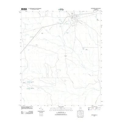
2011 Map of Hurtsboro
USGS Topo · Published 2011About this map
Hurtsboro serves as the primary hub of this East Alabama landscape, where the town's grid is centered around the Hurtsboro Post Office and a rail line running parallel to Railroad St. The map captures a high concentration of community landmarks, including Saint Pauls Cemetery and Hurtsboro Cemetery on the northern edge, suggesting a well-established settlement history. To the southwest, the smaller community of Enon is defined by its proximity to managed water resources like Enon Lake Number Two and Enon Lake Number One.
Find a feature on this map
44 named features on this map. Tap any name to fly to it.
Don’t see what you’re looking for? This feature index may not catch every label — zoom into the map to look around manually.
Map Details
Editions of this 2011 Hurtsboro Map
This is the sole edition of this map. No revisions or reprints were ever made.
Other maps of this area

1955 · Phenix City
USGS Topo · 1:250,000

1957 · Phenix City
USGS Topo · 1:250,000

1958 · Phenix City
USGS Topo · 1:250,000
1973 · Batesville
USGS Topo · 1:24,000
1973 · Hatchechubbee
USGS Topo · 1:24,000
1973 · Comer
USGS Topo · 1:24,000
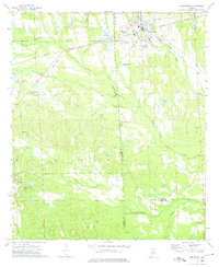
1973 · Hurtsboro
USGS Topo · 1:24,000
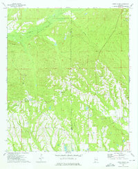
1973 · Creek Stand
USGS Topo · 1:24,000
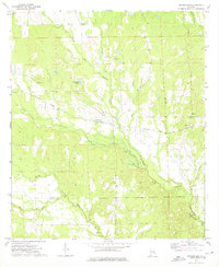
1973 · Rutherford
USGS Topo · 1:24,000
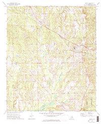
1973 · Midway
USGS Topo · 1:24,000