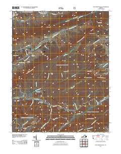
2011 Map of Hutchinson Rock
USGS Topo · Published 2011About this map
Rich Mountain and Garden Mountain dominate this corner of Tazewell County, where the high ridgelines of the Appalachian Plateau dictate the flow of water and human travel. The headwaters of the South Fork Clinch River and Maiden Spring Creek carve through the narrow valleys, creating a landscape defined by sharp elevation changes at Wynne Peak and Hutchinson Rock. Small settlements like Steel Hill and Joe Neets are tucked into these drainage basins, connected by winding mountain roads.
Find a feature on this map
55 named features on this map. Tap any name to fly to it.
Don’t see what you’re looking for? This feature index may not catch every label — zoom into the map to look around manually.
Map Details
Editions of this 2011 Hutchinson Rock Map
This is the sole edition of this map. No revisions or reprints were ever made.
Other maps of this area

1887 · Pocahontas
USGS Topo · 1:125,000

1889 · Wytheville
USGS Topo · 1:125,000

1891 · Tazewell
USGS Topo · 1:125,000

1891 · Pocahontas
USGS Topo · 1:125,000

1891 · Abingdon
USGS Topo · 1:125,000

1892 · Wytheville
USGS Topo · 1:125,000

1894 · Pocahontas
USGS Topo · 1:125,000

1894 · Abingdon
USGS Topo · 1:125,000

1895 · Tazewell
USGS Topo · 1:125,000

1895 · Pocahontas
USGS Topo · 1:125,000