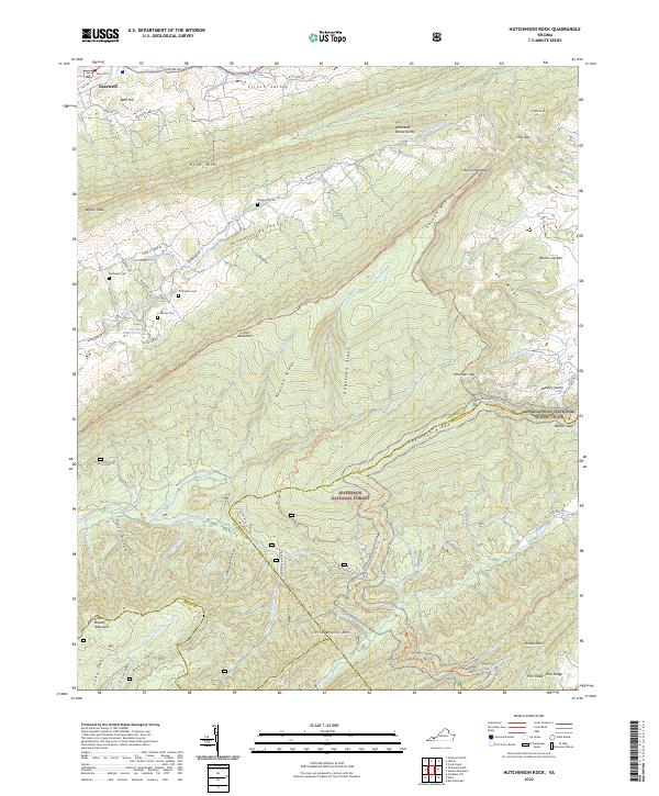
2022 Map of Hutchinson Rock
USGS Topo · Published 2022About this map
Clinch Mountain and Garden Mountain dominate this landscape, forming the dramatic topography of the Tennessee Valley Divide. The map illustrates the agricultural and familial layout of Thompson Valley and Clinch Valley, where early settlements and family lands are marked by sites like Thompson Cem, Buchanan Cem, and Crabtree Cem. In the northwest, the edge of Tazewell transitions into the steep slopes of Rich Mountain and Bald Hill.
Find a feature on this map
77 named features on this map. Tap any name to fly to it.
Don’t see what you’re looking for? This feature index may not catch every label — zoom into the map to look around manually.
Map Details
Editions of this 2022 Hutchinson Rock Map
This is the sole edition of this map. No revisions or reprints were ever made.
Other maps of this area

1887 · Pocahontas
USGS Topo · 1:125,000

1889 · Wytheville
USGS Topo · 1:125,000

1891 · Tazewell
USGS Topo · 1:125,000

1891 · Pocahontas
USGS Topo · 1:125,000

1891 · Abingdon
USGS Topo · 1:125,000

1892 · Wytheville
USGS Topo · 1:125,000

1894 · Pocahontas
USGS Topo · 1:125,000

1894 · Abingdon
USGS Topo · 1:125,000

1895 · Tazewell
USGS Topo · 1:125,000

1895 · Pocahontas
USGS Topo · 1:125,000