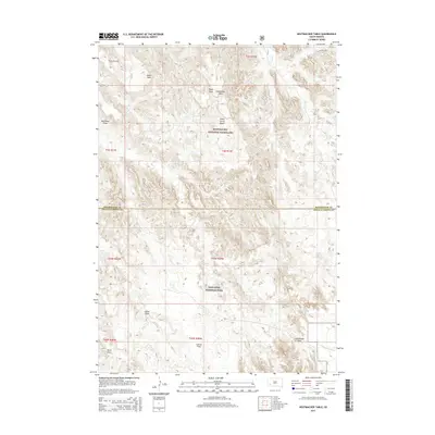
2015 Map of Hutmacher Table
USGS Topo · Published 2015About this map
Badlands National Park and the Buffalo Gap National Grassland meet in this landscape of high plateaus and erosional drainages. The terrain is defined by flat-topped tables, most notably Hutmacher Table and Zebell Table, which rise above a network of seasonal watercourses. The local hydrology is marked by numerous dry washes and draws, such as Ralph Draw and Big Corral Draw, that carve through the sedimentary layers toward Indian Cr and N Cottonwood Cr.
Find a feature on this map
22 named features on this map. Tap any name to fly to it.
Don’t see what you’re looking for? This feature index may not catch every label — zoom into the map to look around manually.
Map Details
Editions of this 2015 Hutmacher Table Map
This is the sole edition of this map. No revisions or reprints were ever made.
Other maps of this area

1950 · Sheep Mountain Table
USGS Topo · 1:24,000

1950 · Stirk Table
USGS Topo · 1:24,000

1950 · Cuny Table East
USGS Topo · 1:24,000

1951 · Heutmacher Table
USGS Topo · 1:24,000

1951 · Red Shirt NE
USGS Topo · 1:24,000

1951 · Cuny Table West
USGS Topo · 1:24,000

1953 · Folsom
USGS Topo · 1:24,000

1954 · Scenic
USGS Topo · 1:24,000

1954 · Scenic SW
USGS Topo · 1:24,000

1955 · Hot Springs
USGS Topo · 1:250,000