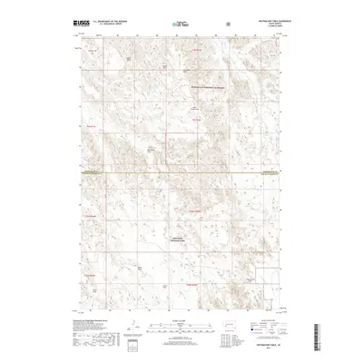
2017 Map of Hutmacher Table
USGS Topo · Published 2017About this map
Badlands National Park and Buffalo Gap National Grassland dominate this section of the South Dakota landscape, where the boundary between Pennington and Oglala Lakota counties runs through a complex system of plateaus and erosion. The high ground of Hutmacher Table and Zebell Table provides a stark contrast to the deeply cut drainage systems of Big Corral Draw and Little Corral Draw. These landforms illustrate the transition from the grassy plains into the intricate topography of the Badlands.
Find a feature on this map
22 named features on this map. Tap any name to fly to it.
Don’t see what you’re looking for? This feature index may not catch every label — zoom into the map to look around manually.
Map Details
Editions of this 2017 Hutmacher Table Map
This is the sole edition of this map. No revisions or reprints were ever made.
Other maps of this area

1950 · Sheep Mountain Table
USGS Topo · 1:24,000

1950 · Stirk Table
USGS Topo · 1:24,000

1950 · Cuny Table East
USGS Topo · 1:24,000

1951 · Heutmacher Table
USGS Topo · 1:24,000

1951 · Red Shirt NE
USGS Topo · 1:24,000

1951 · Cuny Table West
USGS Topo · 1:24,000

1953 · Folsom
USGS Topo · 1:24,000

1954 · Scenic
USGS Topo · 1:24,000

1954 · Scenic SW
USGS Topo · 1:24,000

1955 · Hot Springs
USGS Topo · 1:250,000