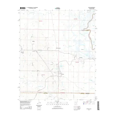
2014 Map of Huttig
USGS Topo · Published 2014About this map
Huttig and its surrounding wetlands occupy a landscape defined by the low-lying basins of the Ouachita River and the Arkansas-Louisiana border. The town's industrial legacy is evidenced by the presence of large impoundments like Forty Acre Millpond and Twenty Acre Millpond, which reflect the historic importance of timber and milling to the local economy. To the north and west, the terrain transitions into a mosaic of creeks and ridges, including Gum Ridge and the winding course of South Lapile Creek.
Find a feature on this map
72 named features on this map. Tap any name to fly to it.
Don’t see what you’re looking for? This feature index may not catch every label — zoom into the map to look around manually.
Map Details
Editions of this 2014 Huttig Map
This is the sole edition of this map. No revisions or reprints were ever made.
Other maps of this area

1933 · Strong
USGS Topo · 1:62,500

1934 · Felsenthal
USGS Topo · 1:62,500

1935 · Haile
USGS Topo · 1:62,500

1937 · Strong
USGS Topo · 1:62,500

1937 · Felsenthal
USGS Topo · 1:62,500

1938 · Felsenthal
USGS Topo · 1:62,500

1939 · Felsenthal
USGS Topo · 1:62,500

1939 · Strong
USGS Topo · 1:62,500

1952 · Farmerville
USGS Topo · 1:62,500

1953 · El Dorado
USGS Topo · 1:250,000