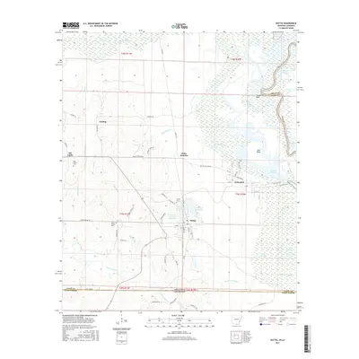
2017 Map of Huttig
USGS Topo · Published 2017About this map
Felsenthal and Huttig anchor this southern Arkansas landscape, situated just above the Louisiana state line in a region defined by the complex waterways of the Ouachita River valley. The map reveals an intricate network of sloughs and brakes, such as Buckhorn Slough and Open Brake, which weave through the lowlands east of Gum Ridge. These wetlands are balanced by industrial and municipal development, including the Arkansas Noname 55 Reservoir and the Forty Acre Millpond adjacent to the Huttig townsite.
Find a feature on this map
68 named features on this map. Tap any name to fly to it.
Don’t see what you’re looking for? This feature index may not catch every label — zoom into the map to look around manually.
Map Details
Editions of this 2017 Huttig Map
This is the sole edition of this map. No revisions or reprints were ever made.
Other maps of this area

1933 · Strong
USGS Topo · 1:62,500

1934 · Felsenthal
USGS Topo · 1:62,500

1935 · Haile
USGS Topo · 1:62,500

1937 · Strong
USGS Topo · 1:62,500

1937 · Felsenthal
USGS Topo · 1:62,500

1938 · Felsenthal
USGS Topo · 1:62,500

1939 · Felsenthal
USGS Topo · 1:62,500

1939 · Strong
USGS Topo · 1:62,500

1952 · Farmerville
USGS Topo · 1:62,500

1953 · El Dorado
USGS Topo · 1:250,000