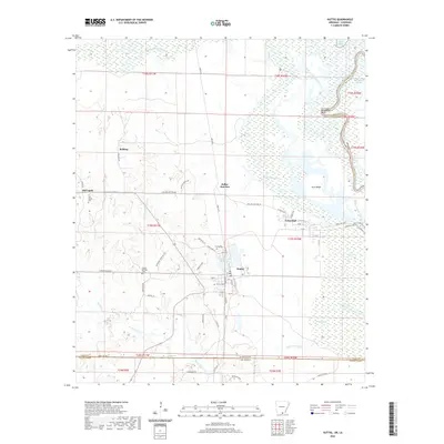
2020 Map of Huttig
USGS Topo · Published 2020About this map
Huttig anchors this survey of the Arkansas-Louisiana borderlands, where the Union Parish line meets Union County. The landscape is defined by the complex hydrology of the Ouachita River basin, featuring numerous sloughs and bends such as Henderson Bend and Horseshoe Slough. Industry and infrastructure are evident at Twenty Acre Millpond and the network of local roads like Dollar Junction Rd and New Lock 6 Rd that connect smaller settlements including Felsenthal and Old Lapile. For genealogists and local historians, the sheet is particularly valuable for its clear marking of family-linked landmarks and burial sites, including Old Lapile Cem, Harper Springs Cem, and Simms Cem. The presence of Dollar Junction and various railroad-aligned streets in Felsenthal points to the area's history as a timber and transit hub near South Lapile Creek.
Find a feature on this map
70 named features on this map. Tap any name to fly to it.
Don’t see what you’re looking for? This feature index may not catch every label — zoom into the map to look around manually.
Map Details
Editions of this 2020 Huttig Map
This is the sole edition of this map. No revisions or reprints were ever made.
Other maps of this area

1933 · Strong
USGS Topo · 1:62,500

1934 · Felsenthal
USGS Topo · 1:62,500

1935 · Haile
USGS Topo · 1:62,500

1937 · Strong
USGS Topo · 1:62,500

1937 · Felsenthal
USGS Topo · 1:62,500

1938 · Felsenthal
USGS Topo · 1:62,500

1939 · Felsenthal
USGS Topo · 1:62,500

1939 · Strong
USGS Topo · 1:62,500

1952 · Farmerville
USGS Topo · 1:62,500

1953 · El Dorado
USGS Topo · 1:250,000