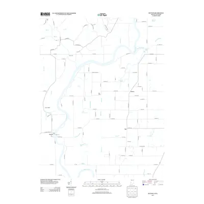
2013 Map of Hutton
USGS Topo · Published 2013About this map
The Wabash River meanders across the border of Illinois and Indiana in this 2013 survey, defining a landscape of complex riparian features and small rural settlements. Near the town of Darwin, the Darwin Ferry and Darwin Ferry landing mark a historical crossing point, while river bends like Aurora Bend and several oxbow-related water bodies characterize the floodplain. These include Oxendine Bayou, Greenfield Bayou, and Chestnut Bayou, alongside stagnant features like Muskrat Pond and Round Pond.
Find a feature on this map
106 named features on this map. Tap any name to fly to it.
Don’t see what you’re looking for? This feature index may not catch every label — zoom into the map to look around manually.
Map Details
Editions of this 2013 Hutton Map
This is the sole edition of this map. No revisions or reprints were ever made.
Other maps of this area

1932 · Marshall
USGS Topo · 1:62,500

1937 · Marshall
USGS Topo · 1:62,500

1940 · Pimento
USGS Topo · 1:24,000

1941 · Terre Haute
USGS Topo · 1:24,000

1942 · Fairbanks
USGS Topo · 1:24,000

1942 · Shelburn
USGS Topo · 1:24,000

1942 · Hutton
USGS Topo · 1:24,000

1942 · Dennison
USGS Topo · 1:24,000

1948 · Terre Haute
USGS Topo · 1:24,000

1952 · Fairbanks
USGS Topo · 1:24,000