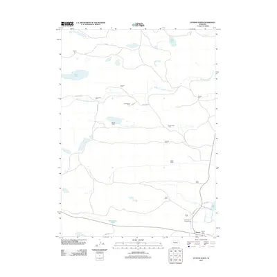
2011 Map of Hyannis North
USGS Topo · Published 2011About this map
The Middle Branch Middle Loup River meanders through the heart of Grant County, anchoring a landscape defined by large-scale ranching operations and the expansive Sandhills topography. At the southern edge of this 2011 survey, the village of Hyannis serves as the regional hub, housing the Hyannis Post Office and providing access to the Grant County Landing Field. The map reveals a highly decentralized settlement pattern where named family estates like the Stevens Ranch, J Brenneman Ranch, and Hayward Ranch are connected by a network of rural routes such as Brenneman Rd and Ashby Rd. Numerous water bodies and depressions including Castle Lake, Soda Lake, and Wolfenberger Lakes are interspersed throughout Brown Valley and Lamb Valley, highlighting the unique hydrology of this Nebraska ranching country.
Find a feature on this map
29 named features on this map. Tap any name to fly to it.
Don’t see what you’re looking for? This feature index may not catch every label — zoom into the map to look around manually.
Map Details
Editions of this 2011 Hyannis North Map
This is the sole edition of this map. No revisions or reprints were ever made.
Other maps of this area

1948 · Ashby
USGS Topo · 1:62,500

1948 · George Lake
USGS Topo · 1:62,500

1948 · Whitman
USGS Topo · 1:62,500

1948 · Spring Valley
USGS Topo · 1:62,500

1949 · Ashby
USGS Topo · 1:62,500

1950 · Spring Valley
USGS Topo · 1:62,500

1950 · Whitman
USGS Topo · 1:62,500

1950 · George Lake
USGS Topo · 1:62,500

1954 · North Platte
USGS Topo · 1:250,000

1956 · North Platte
USGS Topo · 1:250,000