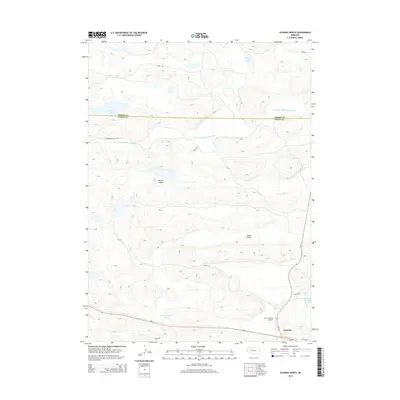
2014 Map of Hyannis North
USGS Topo · Published 2014About this map
Hyannis serves as the focal point for this section of the Nebraska Sandhills, situated in the southeastern corner near the Grant County Airport. The landscape is defined by its hydrology and terrain, with the Middle Br Middle Loup River winding through the northern portion of the quadrangle. Interspersed among the rolling hills are numerous water bodies, including Castle Lake, Soda Lake, and the clustered Wolfenberger Lakes. Large topographic depressions such as Brown Valley and Lamb Valley characterize the local geography, illustrating the distinct wind-formed sandy peaks and troughs of the region. A network of rural routes, such as Ashby Rd and Sibbitt Rd, connects the scattered ranchlands across the Cherry County and Grant County line, reflecting the enduring cattle-ranching economy of the early 21st century.
Find a feature on this map
20 named features on this map. Tap any name to fly to it.
Don’t see what you’re looking for? This feature index may not catch every label — zoom into the map to look around manually.
Map Details
Editions of this 2014 Hyannis North Map
This is the sole edition of this map. No revisions or reprints were ever made.
Other maps of this area

1948 · Ashby
USGS Topo · 1:62,500

1948 · George Lake
USGS Topo · 1:62,500

1948 · Whitman
USGS Topo · 1:62,500

1948 · Spring Valley
USGS Topo · 1:62,500

1949 · Ashby
USGS Topo · 1:62,500

1950 · Spring Valley
USGS Topo · 1:62,500

1950 · Whitman
USGS Topo · 1:62,500

1950 · George Lake
USGS Topo · 1:62,500

1954 · North Platte
USGS Topo · 1:250,000

1956 · North Platte
USGS Topo · 1:250,000