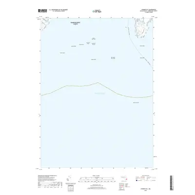
2018 Map of Hyannis OE S
USGS Topo · Published 2018About this map
The maritime approaches to Barnstable Town are defined by an intricate network of submerged hazards and navigation routes in the Atlantic Ocean. This nautical landscape is dominated by the Nantucket - Hyannis Ferry line, which cuts across the open water east of numerous shoals and rocks. Coastal features near the shoreline include the protected waters of Phinneys Bay and the nearby Crystal Lake, framed by residential thoroughfares like Wianno Ave and Sea View Ave.
Find a feature on this map
19 named features on this map. Tap any name to fly to it.
Don’t see what you’re looking for? This feature index may not catch every label — zoom into the map to look around manually.
Map Details
Editions of this 2018 Hyannis OE S Map
This is the sole edition of this map. No revisions or reprints were ever made.
Other maps of this area

1887 · Muskeget
USGS Topo · 1:62,500

1887 · Yarmouth
USGS Topo · 1:62,500

1888 · Barnstable
USGS Topo · 1:62,500

1889 · Muskeget
USGS Topo · 1:62,500

1889 · Yarmouth
USGS Topo · 1:62,500

1893 · Muskeget
USGS Topo · 1:62,500

1893 · Yarmouth
USGS Topo · 1:62,500

1893 · Barnstable
USGS Topo · 1:62,500

1899 · Muskeget
USGS Topo · 1:62,500
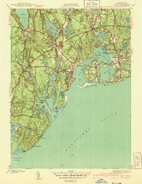
1941 · Cotuit
USGS Topo · 1:31,680