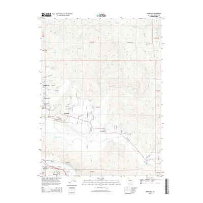
2015 Map of Hydesville
USGS Topo · Published 2015About this map
Hydesville and Carlotta sit at the center of this 2015 survey, where the valley floor meets the rising timberlands of Humboldt County. The geography is defined by the confluence of the Van Duzen River and the Eel River, which flows past the striking Scotia Bluffs and the community of Rio Dell in the southwest corner. For those researching local heritage, the map is a primary source for several historic burial grounds, including the Rohnerville Pioneer Masonic and IOOF Cemetery and two distinct cemeteries in Hydesville. Moving north from the river basins, the landscape transitions into upland openings like Blanton Prairie and Myrick Prairie, separated by steep drainages such as Wolverton Gulch and French Gulch. This modern record of the terrain preserves the names of early family landholdings and farm-to-market routes like Rohnerville Rd and Barber Creek Rd.
Find a feature on this map
93 named features on this map. Tap any name to fly to it.
Don’t see what you’re looking for? This feature index may not catch every label — zoom into the map to look around manually.
Map Details
Editions of this 2015 Hydesville Map
This is the sole edition of this map. No revisions or reprints were ever made.
Other maps of this area

1919 · Glynn
USGS Topo · 1:62,500

1921 · Dyerville
USGS Topo · 1:62,500

1922 · Kneeland
USGS Topo · 1:62,500

1944 · Fortuna
USGS Topo · 1:62,500

1949 · Eureka
USGS Topo · 1:250,000

1949 · Weott
USGS Topo · 1:62,500

1950 · Iaqua Buttes
USGS Topo · 1:62,500

1950 · Scotia
USGS Topo · 1:62,500

1951 · Scotia
USGS Topo · 1:62,500

1951 · Weott
USGS Topo · 1:62,500