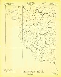
1910 Map of Iaeger
USGS Topo · Published 1910About this map
Tug River and its numerous mountain branches define this 1910 survey of McDowell County, capturing the region during a period of heavy rail expansion. The Norfolk and Western RR follows the winding river valley, connecting the established hubs of Iaeger and Panther. These rail lines were the lifeblood of the coal and timber economy, evidenced by the string of settlements like Ritter, Wilmore, and Avondale PO that grew along the tracks.
Find a feature on this map
77 named features on this map. Tap any name to fly to it.
Don’t see what you’re looking for? This feature index may not catch every label — zoom into the map to look around manually.
Map Details
Editions of this 1910 Iaeger Map
This is the sole edition of this map. No revisions or reprints were ever made.
Other maps of this area

1886 · Grundy
USGS Topo · 1:125,000

1887 · Warfield
USGS Topo · 1:125,000

1890 · Grundy
USGS Topo · 1:125,000

1891 · Tazewell
USGS Topo · 1:125,000

1891 · Oceana
USGS Topo · 1:125,000

1891 · Warfield
USGS Topo · 1:125,000

1892 · Grundy
USGS Topo · 1:125,000

1893 · Oceana
USGS Topo · 1:125,000

1895 · Tazewell
USGS Topo · 1:125,000

1897 · Tazewell
USGS Topo · 1:125,000