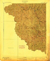
1912 Map of Iaeger
USGS Topo · Published 1912About this map
Norfolk and Western rail lines anchor this 1910 survey of McDowell County, following the winding course of the Tug Fork through a landscape defined by deep-cut hollows and steep ridges. The settlement of Iaeger serves as a central hub where the rail network converges with numerous mountain branches, including Johnnycake Br and Negro Branch. The map captures the industrial and logistical framework of the southern West Virginia coalfields before large-scale modernization, showing a world connected by rail and small post offices.
Find a feature on this map
54 named features on this map. Tap any name to fly to it.
Don’t see what you’re looking for? This feature index may not catch every label — zoom into the map to look around manually.
Map Details
Editions of this 1912 Iaeger Map
This is the sole edition of this map. No revisions or reprints were ever made.
Other maps of this area

1886 · Grundy
USGS Topo · 1:125,000

1887 · Warfield
USGS Topo · 1:125,000

1890 · Grundy
USGS Topo · 1:125,000

1891 · Tazewell
USGS Topo · 1:125,000

1891 · Oceana
USGS Topo · 1:125,000

1891 · Warfield
USGS Topo · 1:125,000

1892 · Grundy
USGS Topo · 1:125,000

1893 · Oceana
USGS Topo · 1:125,000

1895 · Tazewell
USGS Topo · 1:125,000

1897 · Tazewell
USGS Topo · 1:125,000