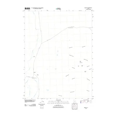
2010 Map of Ibapah
USGS Topo · Published 2010About this map
Ibapah lies at the western edge of Utah in a high desert landscape defined by the convergence of several drainages, including West Deep Creek, Middle Deep Creek, and East Deep Creek. This 2010 survey highlights the historical significance of the region, where the Deep Creek Pony Express Monument stands as a reminder of the frontier mail route. The settlement is supported by arterial roads like Ibapah Rd and Willow Rd, which connect the community to nearby agricultural and pastoral sites like Nicholes Ranch.
Find a feature on this map
34 named features on this map. Tap any name to fly to it.
Don’t see what you’re looking for? This feature index may not catch every label — zoom into the map to look around manually.
Map Details
Editions of this 2010 Ibapah Map
This is the sole edition of this map. No revisions or reprints were ever made.
Other maps of this area

1908 · Fish Springs
USGS Topo · 1:250,000

1910 · Fish Springs
USGS Topo · 1:250,000

1925 · Gold Hill
USGS Topo · 1:62,500

1928 · Gold Hill
USGS Topo · 1:62,500

1953 · Tooele
USGS Topo · 1:250,000

1953 · Delta
USGS Topo · 1:250,000

1955 · Tooele
USGS Topo · 1:250,000

1955 · Elko
USGS Topo · 1:250,000

1956 · Ely
USGS Topo · 1:250,000

1958 · Elko
USGS Topo · 1:250,000