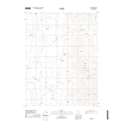
2020 Map of Ibapah
USGS Topo · Published 2020About this map
Ibapah serves as the focal point for this high-desert landscape in western Tooele County, where the Deep Creek Valley separates the Cherry Creek Range from the formidable peaks of the Deep Creek Range. The settlement is linked to its surroundings by the historic Old Lincoln Hwy and Bia Hwy 1, reflecting its role as a regional hub near the Goshute reservation. Genealogists and local historians can locate the Ibapah Cem and several family-named landmarks such as Christiansen Canyon and Sevy Canyon.
Find a feature on this map
56 named features on this map. Tap any name to fly to it.
Don’t see what you’re looking for? This feature index may not catch every label — zoom into the map to look around manually.
Map Details
Editions of this 2020 Ibapah Map
This is the sole edition of this map. No revisions or reprints were ever made.
Other maps of this area

1908 · Fish Springs
USGS Topo · 1:250,000

1910 · Fish Springs
USGS Topo · 1:250,000

1925 · Gold Hill
USGS Topo · 1:62,500

1928 · Gold Hill
USGS Topo · 1:62,500

1953 · Tooele
USGS Topo · 1:250,000

1953 · Delta
USGS Topo · 1:250,000

1955 · Tooele
USGS Topo · 1:250,000

1955 · Elko
USGS Topo · 1:250,000

1956 · Ely
USGS Topo · 1:250,000

1958 · Elko
USGS Topo · 1:250,000