1987 Map of Iberia
USGS Topo · Published 1988About this map
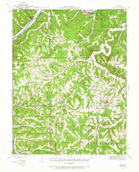
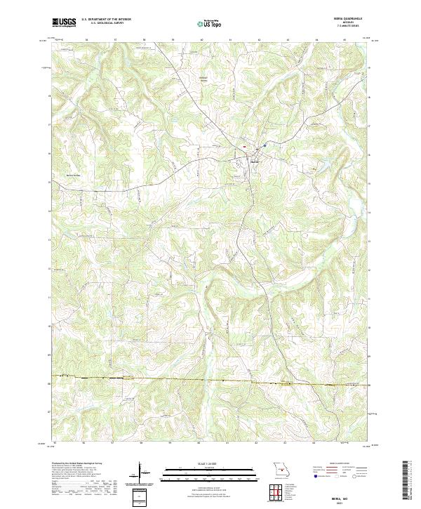
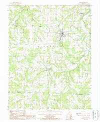
Iberia serves as the central hub of this late 1980s landscape, situated in the high ground between the drainage of Tavern Creek and its many tributaries. The map details a complex network of waterways and natural springs, including Boiling Springs and Blue Spring, which define the local geography. The area's character is shaped by deep hollows like Barnes Hollow and Fox Hollow, interspersed with rural infrastructure such as the Wooden Pole Trans Line and several cemeteries that speak to the long-standing community presence in the Richwoods and Tavern townships.
Find a feature on this map
22 named features on this map. Tap any name to fly to it.
Don’t see what you’re looking for? This feature index may not catch every label — zoom into the map to look around manually.
Map Details
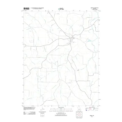
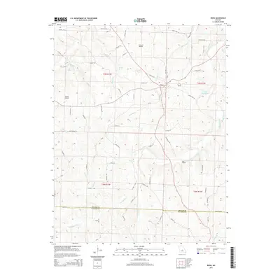
Editions of this 1987 Iberia Map
This is the sole edition of this map. No revisions or reprints were ever made.
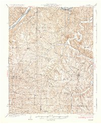
Historical Maps of Iberia Through Time
7 maps found