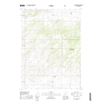
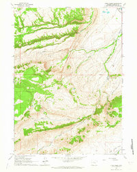
2018 Map of Ice Cave Mountain
USGS Topo · Published 2018About this map
Ice Cave Mountain dominates the southern reaches of this Wyoming landscape, situated within the southeastern corner of Natrona County. Much of the eastern and central terrain is protected as part of the Medicine Bow National Forest, where the Deer Creek Range creates a series of steep drainages and high-altitude parks. The hydrological network here is complex, defined by numerous mountain streams such as Spruce Cr and Spring Cr that cut through the north-south oriented ridges.
Find a feature on this map
20 named features on this map. Tap any name to fly to it.
Don’t see what you’re looking for? This feature index may not catch every label — zoom into the map to look around manually.
Map Details
Editions of this 2018 Ice Cave Mountain Map
This is the sole edition of this map. No revisions or reprints were ever made.
Other maps of this area

1955 · Casper
USGS Topo · 1:250,000

1958 · Casper
USGS Topo · 1:250,000
1959 · Squaw Spring
USGS Topo · 1:24,000
1959 · Bates Creek Reservoir
USGS Topo · 1:24,000
1960 · Crimson Dawn
USGS Topo · 1:24,000
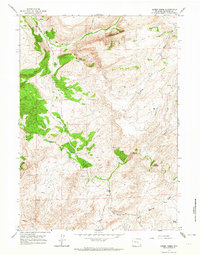
1960 · Sheep Creek
USGS Topo · 1:24,000
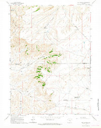
1960 · Mud Springs
USGS Topo · 1:24,000
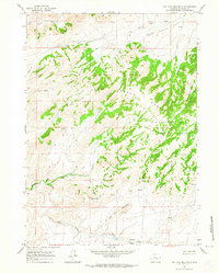
1960 · Ice Cave Mountain
USGS Topo · 1:24,000
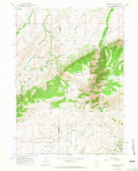
1960 · Banner Mtn
USGS Topo · 1:24,000
1960 · Otter Creek
USGS Topo · 1:24,000