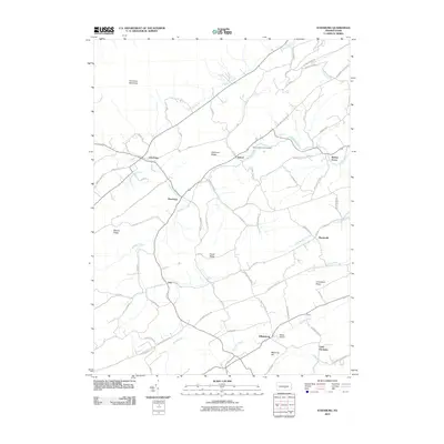
2010 Map of Ickesburg
USGS Topo · Published 2010About this map
Sherman Ridge and Peach Ridge dominate the central landscape of this Perry County quadrangle, where a network of valley settlements follows the winding paths of Buffalo Creek and Raccoon Creek. The village of Ickesburg serves as a primary local crossroads, situated just south of the Tuscarora Wild Area. The map reveals a deeply etched agricultural and residential pattern, with numerous hollows like Jackson Hollow Rd and Rock Hollow Rd providing access to the higher elevations.
Find a feature on this map
61 named features on this map. Tap any name to fly to it.
Don’t see what you’re looking for? This feature index may not catch every label — zoom into the map to look around manually.
Map Details
Editions of this 2010 Ickesburg Map
This is the sole edition of this map. No revisions or reprints were ever made.
Other maps of this area

1907 · New Bloomfield
USGS Topo · 1:62,500

1907 · Millerstown
USGS Topo · 1:62,500

1925 · Mifflintown
USGS Topo · 1:48,000

1930 · Loysville
USGS Topo · 1:62,500

1933 · Loysville
USGS Topo · 1:62,500

1934 · Mifflintown
USGS Topo · 1:62,500

1937 · Mifflintown
USGS Topo · 1:62,500

1943 · Millerstown
USGS Topo · 1:62,500

1943 · New Bloomfield
USGS Topo · 1:62,500

1950 · Harrisburg
USGS Topo · 1:250,000
Featured Places
- Saville Township, PA
- Tyrone Township, PA
- Centre Township, PA
- Turbett Township, PA
- Tuscarora Township, PA