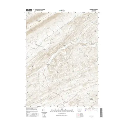
2016 Map of Ickesburg
USGS Topo · Published 2016About this map
Tuscarora Mountain and a series of prominent ridges define this section of Perry County, where the Juniata Co Perry Co line follows the high ground. The landscape is characterized by a distinctive parallel ridge-and-valley pattern, with Raccoon Ridge, Sherman Ridge, and Hominy Ridge carving the terrain into narrow corridors. Within these valleys, small settlements like Ickesburg, Eshcol, and Roseburg serve as local hubs, connected by winding routes such as Veterans Way and Liberty Valley Rd.
Find a feature on this map
88 named features on this map. Tap any name to fly to it.
Don’t see what you’re looking for? This feature index may not catch every label — zoom into the map to look around manually.
Map Details
Editions of this 2016 Ickesburg Map
This is the sole edition of this map. No revisions or reprints were ever made.
Other maps of this area

1907 · New Bloomfield
USGS Topo · 1:62,500

1907 · Millerstown
USGS Topo · 1:62,500
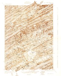
1925 · Mifflintown
USGS Topo · 1:48,000
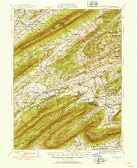
1930 · Loysville
USGS Topo · 1:62,500
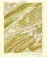
1933 · Loysville
USGS Topo · 1:62,500
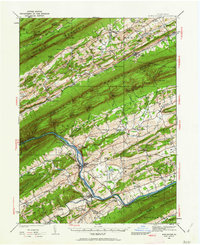
1934 · Mifflintown
USGS Topo · 1:62,500
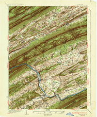
1937 · Mifflintown
USGS Topo · 1:62,500
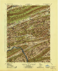
1943 · Millerstown
USGS Topo · 1:62,500
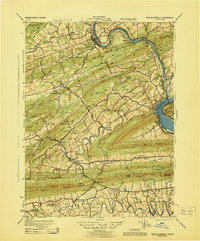
1943 · New Bloomfield
USGS Topo · 1:62,500

1950 · Harrisburg
USGS Topo · 1:250,000
Featured Places
- Saville Township, PA
- Tyrone Township, PA
- Centre Township, PA
- Turbett Township, PA
- Tuscarora Township, PA