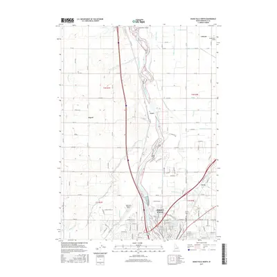
2017 Map of Idaho Falls North
USGS Topo · Published 2017About this map
Idaho Falls anchors the southern edge of this study, where the Snake River winds through a landscape defined by an intricate network of irrigation infrastructure. The map reveals the critical role of water management in this portion of the Snake River Valley, showing numerous historic waterways such as the Great Western Canal, the Owners Mutual Canal, and the Burgess Canal. These channels, alongside smaller features like Mel Fieldings Ditch and the Osgood Canal, supported the agricultural expansion that established rural communities like Coltman, Payne, and Osgood. Near the city, the presence of the Idaho Falls Regional Airport and the junction of major transit routes highlight the area's development into a regional transportation hub. Researchers can trace the dense grid of county roads that connect these outlying settlements to the urban center, reflecting a long-standing pattern of high-desert farming and town-building in Bonneville County.
Find a feature on this map
127 named features on this map. Tap any name to fly to it.
Don’t see what you’re looking for? This feature index may not catch every label — zoom into the map to look around manually.
Map Details
Editions of this 2017 Idaho Falls North Map
This is the sole edition of this map. No revisions or reprints were ever made.
Other maps of this area

1924 · Ammon
USGS Topo · 1:62,500

1948 · Woodville
USGS Topo · 1:24,000

1948 · Rigby
USGS Topo · 1:24,000

1948 · Lewisville
USGS Topo · 1:24,000

1948 · Idaho Falls North
USGS Topo · 1:24,000

1948 · Idaho Falls South
USGS Topo · 1:24,000

1948 · Ucon
USGS Topo · 1:24,000

1949 · Ucon
USGS Topo · 1:24,000

1949 · Idaho Falls North
USGS Topo · 1:24,000

1949 · Rigby
USGS Topo · 1:24,000