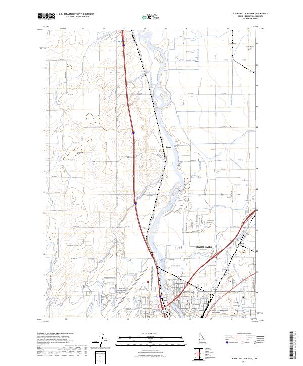
2023 Map of Idaho Falls North
USGS Topo · Published 2023About this map
The Snake River dictates the landscape north of Idaho Falls, where a complex system of historical irrigation infrastructure has transformed the Snake River Valley into a productive agricultural corridor. This modern survey details the intricate network of water transport, including the Great Western Canal, Idaho Canal, and Burgess Canal, which serve the rural communities of Coltman, Osgood, and Payne. The map captures the suburban expansion and industrial footprint of the region, anchored by the Idaho Falls Regional Airport and the residential developments north of the city center. Geographers and local historians can trace how the land is partitioned between established canals like the Owners Mutual Canal and more modern developments near Orvin, reflecting a century of water rights and land management that continues to shape Bonneville County.
Find a feature on this map
89 named features on this map. Tap any name to fly to it.
Don’t see what you’re looking for? This feature index may not catch every label — zoom into the map to look around manually.
Map Details
Editions of this 2023 Idaho Falls North Map
This is the sole edition of this map. No revisions or reprints were ever made.
Other maps of this area

1924 · Ammon
USGS Topo · 1:62,500

1948 · Woodville
USGS Topo · 1:24,000

1948 · Rigby
USGS Topo · 1:24,000

1948 · Lewisville
USGS Topo · 1:24,000

1948 · Idaho Falls North
USGS Topo · 1:24,000

1948 · Idaho Falls South
USGS Topo · 1:24,000

1948 · Ucon
USGS Topo · 1:24,000

1949 · Ucon
USGS Topo · 1:24,000

1949 · Idaho Falls North
USGS Topo · 1:24,000

1949 · Rigby
USGS Topo · 1:24,000