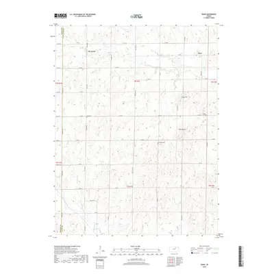
2022 Map of Idana
USGS Topo · Published 2022About this map
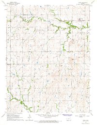
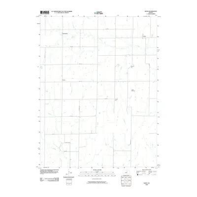
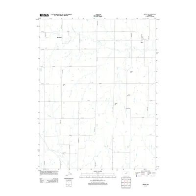
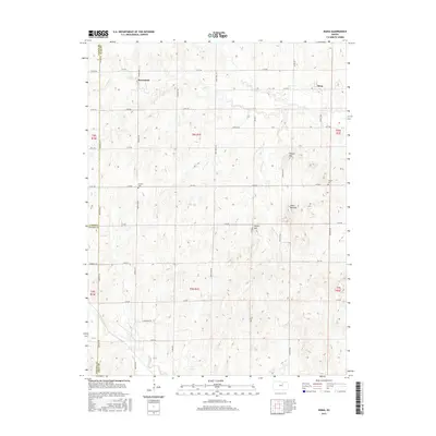
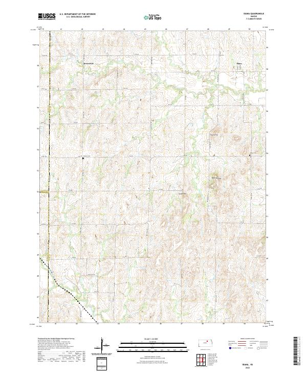
The unincorporated community of Idana sits at the northeastern corner of this Kansas landscape, where the agricultural grid meets the drainage systems of Five Cr and Pinkerton Br. To the west, the settlement of Browndale anchors another pocket of the high plains, illustrating the scattered rural population density of Clay County. The terrain is defined by distinct elevations, notably the ridge line of Table Mounds and the isolated rises of Tobyne Hill and Potato Hill, which provide topographic relief in an area otherwise dominated by square-mile section roads. Local history and genealogy interest is found at the Hebron Cem and Shields Cem, which mark the presence of early prairie homesteaders. The map also documents the convergence of three counties—Clay, Ottawa, and Cloud—where Co Line RD and Meridian Rd define the jurisdictional boundaries.
Find a feature on this map
40 named features on this map. Tap any name to fly to it.
Don’t see what you’re looking for? This feature index may not catch every label — zoom into the map to look around manually.
Map Details
Editions of this 2022 Idana Map
This is the sole edition of this map. No revisions or reprints were ever made.
Historical Maps of Idana Through Time
6 maps found