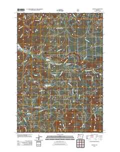
2011 Map of Idanha
USGS Topo · Published 2011About this map
Idanha and its neighbor New Idanha serve as the primary human settlements along the banks of the North Santiam River in this section of Marion County. The local industrial history is anchored by the Idanha Log Pond, which sits near the Idanha Post Office in the center of the valley. This landscape is defined by its water and timber resources, with numerous named creeks like Cabin Creek and Blue Lick Creek feeding into the main river channel as it winds through the Cascades.
Find a feature on this map
42 named features on this map. Tap any name to fly to it.
Don’t see what you’re looking for? This feature index may not catch every label — zoom into the map to look around manually.
Map Details
Editions of this 2011 Idanha Map
This is the sole edition of this map. No revisions or reprints were ever made.
Other maps of this area

1927 · Mt. Jefferson
USGS Topo · 1:125,000

1929 · Mill City
USGS Topo · 1:125,000

1930 · Mt. Jefferson
USGS Topo · 1:125,000

1953 · Salem
USGS Topo · 1:250,000

1954 · Salem
USGS Topo · 1:250,000

1955 · Bend
USGS Topo · 1:250,000

1956 · Battle Ax
USGS Topo · 1:62,500

1956 · Detroit
USGS Topo · 1:62,500

1957 · Bend
USGS Topo · 1:250,000

1958 · Bend
USGS Topo · 1:250,000