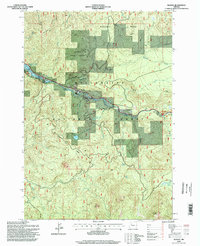
1994 Map of Idanha
USGS Topo · Published 1998About this map
Idanha sits at the heart of this mid-1990s survey, where the Santiam River and the North Santiam Highway carve a path through the timberlands of the Willamette National Forest. The landscape is defined by the sharp transition between industrial use and mountain wilderness, evidenced by a Gravel Pit and a Trailer Park near the settlement, contrasted against the high elevations of Boulder Ridge and Coopers Ridge.
Find a feature on this map
33 named features on this map. Tap any name to fly to it.
Don’t see what you’re looking for? This feature index may not catch every label — zoom into the map to look around manually.
Map Details
Editions of this 1994 Idanha Map
This is the sole edition of this map. No revisions or reprints were ever made.
Other maps of this area
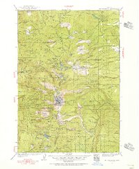
1927 · Mt. Jefferson
USGS Topo · 1:125,000
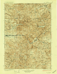
1929 · Mill City
USGS Topo · 1:125,000
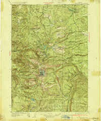
1930 · Mt. Jefferson
USGS Topo · 1:125,000

1953 · Salem
USGS Topo · 1:250,000
1954 · Salem
USGS Topo · 1:250,000
1955 · Bend
USGS Topo · 1:250,000
1956 · Battle Ax
USGS Topo · 1:62,500
1956 · Detroit
USGS Topo · 1:62,500
1957 · Bend
USGS Topo · 1:250,000
1958 · Bend
USGS Topo · 1:250,000