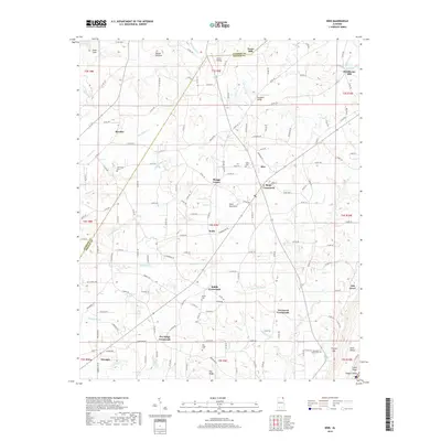
2018 Map of Ider
USGS Topo · Published 2018About this map
Sand Mountain dominates the landscape of this plateau region, where numerous crossroads communities mark the intersection of local routes. The area is defined by its rural heritage, seen in landmarks like Yorks Mill and Old Blevins Mill, which speak to the industrial past of northeastern Alabama. Settlements such as Ider, Henagar, and Keith are connected by a network of county roads, with smaller junctions like Beaty Crossroads and Biddle Crossroads serving as local hubs. For genealogists, the map is a detailed resource, locating family-named cemeteries including Pea Ridge Cem, Mountain Home Cem, and the Fuller Cem near Ider. The terrain is deeply carved by drainage systems like Coon Gulf and Boydston Cr, which flows under Boydston Bridge, revealing how the topography dictated the placement of early farms and landings.
Find a feature on this map
177 named features on this map. Tap any name to fly to it.
Don’t see what you’re looking for? This feature index may not catch every label — zoom into the map to look around manually.
Map Details
Editions of this 2018 Ider Map
This is the sole edition of this map. No revisions or reprints were ever made.
Other maps of this area

1886 · Stevenson
USGS Topo · 1:125,000

1892 · Stevenson
USGS Topo · 1:125,000

1895 · Stevenson
USGS Topo · 1:125,000

1936 · Trenton
USGS Topo · 1:24,000

1936 · Ider
USGS Topo · 1:24,000

1936 · Flat Rock
USGS Topo · 1:24,000

1936 · Dugout Valley
USGS Topo · 1:24,000

1936 · Sulphur Springs
USGS Topo · 1:24,000

1936 · Sylvania
USGS Topo · 1:24,000

1936 · Stevenson
USGS Topo · 1:24,000