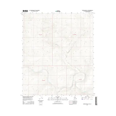
2016 Map of Ikpikpuk River A-5 SW
USGS Topo · Published 2016About this map
Awuna River meanders across the southern landscape of this North Slope quadrangle, following a path that shifts between low-lying wetland basins and rising elevation. This 2016 topographical study reflects the vast, undeveloped character of the Alaska interior, where the land is defined more by its hydrography and public land survey system than by human settlement. The map provides a detailed view of the terrain within sections of t4s r17w, t4s r16w, t5s r17w, and t5s r16w, showing the subtle shifts in relief and the intricate drainage patterns that feed into the larger river system. This is a region primarily governed by natural cycles, where the absence of roads and named towns highlights the isolation of this portion of the borough.
Find a feature on this map
5 named features on this map. Tap any name to fly to it.
Don’t see what you’re looking for? This feature index may not catch every label — zoom into the map to look around manually.
Map Details
Editions of this 2016 Ikpikpuk River A-5 SW Map
This is the sole edition of this map. No revisions or reprints were ever made.
Other maps of this area

1951 · Lookout Ridge
USGS Topo · 1:250,000

1951 · Ikpikpuk River
USGS Topo · 1:250,000

1951 · Howard Pass
USGS Topo · 1:250,000

1951 · Killik River
USGS Topo · 1:250,000

1956 · Lookout Ridge
USGS Topo · 1:250,000

1956 · Howard Pass
USGS Topo · 1:250,000

1956 · Killik River
USGS Topo · 1:250,000

1956 · Ikpikpuk River
USGS Topo · 1:250,000

1984 · Howard Pass D-1
USGS Topo · 1:63,360

1984 · Killik River D-5
USGS Topo · 1:63,360