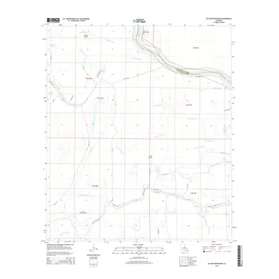
2015 Map of Ile Natchitoches
USGS Topo · Published 2015About this map
Ile Natchitoches and the low-lying basin of the Red River define this portion of the Avoyelles Parish floodplain. The landscape is a dense network of backwaters and intermittent drainages, where the meandering Bayou Natchitoches and Bayou Cache-Cache flow through a region punctuated by broad expanses like Wolf Prairie. Local nomenclature reflects the area's deep French heritage, evident in features such as Pointe Basse, Bayou Sans Facon, and the Grande Coulée. This survey captures the intricate water system of the area, including Lac Ophelia, Lac Long, and Lac Volee, which likely expand and contract with the seasonal rise and fall of the nearby river. Sparse rural roads such as Lake Long Rd and Grassy Lake Rd provide the primary access to these remote wetlands, tracing the natural levees and higher ground between the various bayous and lakes.
Find a feature on this map
45 named features on this map. Tap any name to fly to it.
Don’t see what you’re looking for? This feature index may not catch every label — zoom into the map to look around manually.
Map Details
Editions of this 2015 Ile Natchitoches Map
This is the sole edition of this map. No revisions or reprints were ever made.
Other maps of this area
1935 · Tooleys
USGS Topo · 1:62,500
1939 · Artonish
USGS Topo · 1:62,500
1939 · Deer Park
USGS Topo · 1:62,500
1941 · Voorhies
USGS Topo · 1:62,500
1941 · Tooleys
USGS Topo · 1:62,500
1953 · Natchez
USGS Topo · 1:250,000
1954 · Artonish
USGS Topo · 1:62,500
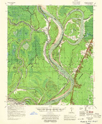
1955 · Artonish
USGS Topo · 1:62,500
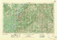
1956 · Natchez
USGS Topo · 1:250,000
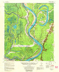
1958 · Artonish
USGS Topo · 1:62,500