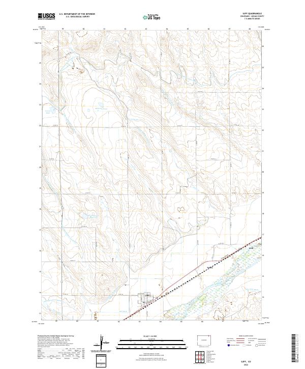
2022 Map of Iliff
USGS Topo · Published 2022About this map
The South Platte River corridor dominates this Logan County landscape, where an intricate network of irrigation systems sustains the high plains agriculture of northeastern Colorado. The small settlement of Iliff serves as a central hub, situated along the BNSF Railway and near the banks of the river. The surrounding terrain is defined by a complex hydrographic system designed to move water across the semi-arid plains, including the North Sterling Outlet Canal, the Iliff Platte Valley Ditch, and the Lone Tree Ditch.
Find a feature on this map
42 named features on this map. Tap any name to fly to it.
Don’t see what you’re looking for? This feature index may not catch every label — zoom into the map to look around manually.
Map Details
Editions of this 2022 Iliff Map
This is the sole edition of this map. No revisions or reprints were ever made.
Other maps of this area

1951 · Sterling North
USGS Topo · 1:24,000

1951 · Galien
USGS Topo · 1:24,000

1951 · Iliff
USGS Topo · 1:24,000

1951 · Padroni NW
USGS Topo · 1:24,000

1952 · Padroni
USGS Topo · 1:24,000

1953 · Peetz
USGS Topo · 1:24,000

1953 · Proctor
USGS Topo · 1:24,000

1953 · Haystack Butte
USGS Topo · 1:24,000

1954 · Sterling
USGS Topo · 1:250,000

1958 · Sterling
USGS Topo · 1:250,000