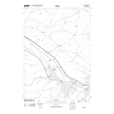
2010 Map of Ilion
USGS Topo · Published 2010About this map
The Mohawk River corridor anchors this portion of the Mohawk Valley, where industrial and agricultural history intersect. The valley floor is densely settled at Ilion, Frankfort, and Mohawk, while the surrounding uplands like Dutch Hill and Hasenclever Hill maintain a pattern of crossroads hamlets including Sheaf Corners and Johnson Corners. This landscape is particularly rich for genealogical research, documenting numerous burial grounds such as Armory Hill Cemetery and the Miller-Dutchtown Cemetery. The rugged descent of Moyer Creek through the Frankfort Gorge illustrates the dramatic terrain changes that defined local transport and industry. Notable landmarks like the Mount Olivet Company near North Frankfort provide specific points of interest within the broader network of rural roads such as Hawthorne Gulf Rd and Sterling Creek Rd.
Find a feature on this map
80 named features on this map. Tap any name to fly to it.
Don’t see what you’re looking for? This feature index may not catch every label — zoom into the map to look around manually.
Map Details
Editions of this 2010 Ilion Map
This is the sole edition of this map. No revisions or reprints were ever made.
Other maps of this area

1898 · Utica
USGS Topo · 1:62,500

1900 · Little Falls
USGS Topo · 1:62,500

1900 · Utica
USGS Topo · 1:62,500

1903 · Richfield Springs
USGS Topo · 1:62,500

1903 · Little Falls
USGS Topo · 1:62,500

1907 · Winfield
USGS Topo · 1:62,500

1939 · Little Falls
USGS Topo · 1:62,500

1943 · Newport
USGS Topo · 1:24,000

1943 · Utica East
USGS Topo · 1:24,000

1943 · Jordanville
USGS Topo · 1:24,000