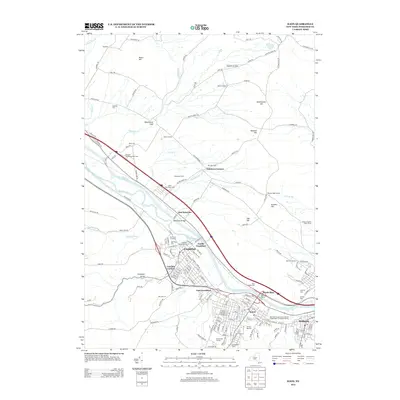
2013 Map of Ilion
USGS Topo · Published 2013About this map
The Mohawk River and Erie Canal define the industrial and transport corridor through this section of Herkimer County, where the valley floor transitions into the elevated terrain of Beech Hill and Hasenclever Hill. The densely developed village of Ilion serves as a focal point, flanked by Frankfort and Mohawk along the water. The landscape is a mix of urban street grids and agricultural peripheries, including named operations like Salamone Farms and Clapsaddle Farm.
Find a feature on this map
151 named features on this map. Tap any name to fly to it.
Don’t see what you’re looking for? This feature index may not catch every label — zoom into the map to look around manually.
Map Details
Editions of this 2013 Ilion Map
This is the sole edition of this map. No revisions or reprints were ever made.
Other maps of this area

1898 · Utica
USGS Topo · 1:62,500

1900 · Little Falls
USGS Topo · 1:62,500

1900 · Utica
USGS Topo · 1:62,500

1903 · Richfield Springs
USGS Topo · 1:62,500

1903 · Little Falls
USGS Topo · 1:62,500

1907 · Winfield
USGS Topo · 1:62,500

1939 · Little Falls
USGS Topo · 1:62,500

1943 · Newport
USGS Topo · 1:24,000

1943 · Utica East
USGS Topo · 1:24,000

1943 · Jordanville
USGS Topo · 1:24,000