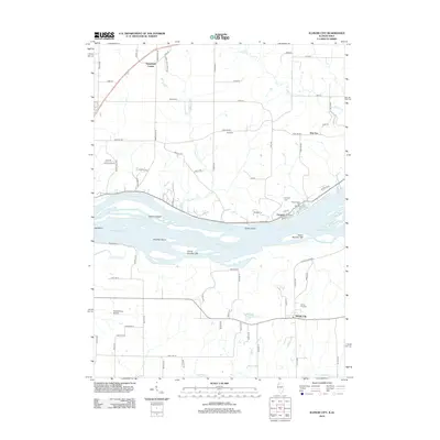
2012 Map of Illinois City
USGS Topo · Published 2012About this map
The Mississippi River defines this landscape on the border of Iowa and Illinois, where intricate river features like Geneva Island, Hershey Island, and Goose Island separate the main channel from Wyoming Slough. Along the northern banks in Iowa, the settlement of Fairport sits adjacent to the Fairport State Fish Hatchery, while further inland the crossroads of Sweetland Center and New Era anchor the agricultural uplands.
Find a feature on this map
79 named features on this map. Tap any name to fly to it.
Don’t see what you’re looking for? This feature index may not catch every label — zoom into the map to look around manually.
Map Details
Editions of this 2012 Illinois City Map
This is the sole edition of this map. No revisions or reprints were ever made.
Other maps of this area

1890 · Durant
USGS Topo · 1:62,500

1891 · Wilton Junction
USGS Topo · 1:62,500

1894 · Durant
USGS Topo · 1:62,500

1901 · Rock Island
USGS Topo · 1:125,000

1901 · Stanwood
USGS Topo · 1:125,000

1910 · Rock Island
USGS Topo · 1:125,000

1916 · Edgington
USGS Topo · 1:62,500

1938 · Edgington
USGS Topo · 1:62,500

1948 · Muscatine
USGS Topo · 1:62,500

1953 · Wilton Junction
USGS Topo · 1:24,000