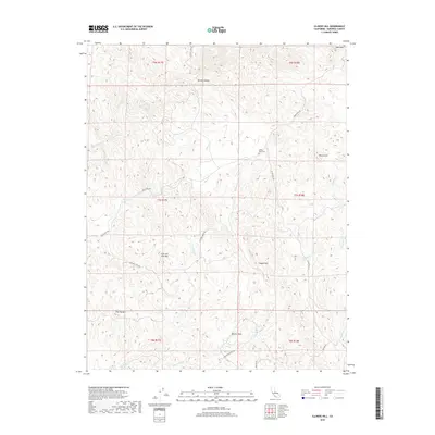
2018 Map of Illinois Hill
USGS Topo · Published 2018About this map
White Rock Cem serves as a small but vital genealogical focal point in this portion of Mariposa County, located along the winding path of White Rock Rd. The landscape is defined by its varied topography, featuring prominent elevations such as Illinois Hill and the uniquely named Cow and Calf Mtn. Numerous drainages carve through these hills, including Mariposa Cr and Dutchman Cr, illustrating the natural water network that has influenced local settlement and ranching routes for generations. Landmarks like Quartz Rock and Copper Hill suggest the mineral-rich character of the Sierra Nevada foothills. A network of rural roads, including Deadman Creek Rd and Dutchman Creek Rd, provides a clear view of how modern property boundaries and access points align with the historic township and range system.
Find a feature on this map
25 named features on this map. Tap any name to fly to it.
Don’t see what you’re looking for? This feature index may not catch every label — zoom into the map to look around manually.
Map Details
Editions of this 2018 Illinois Hill Map
This is the sole edition of this map. No revisions or reprints were ever made.
Other maps of this area
1912 · Mariposa
USGS Topo · 1:125,000
1915 · Owens Creek
USGS Topo · 1:31,680
1918 · Owens Creek
USGS Topo · 1:31,680
1918 · La Grand
USGS Topo · 1:31,680
1919 · Indian Gulch
USGS Topo · 1:48,000
1919 · Raynor Creek
USGS Topo · 1:31,680
1920 · Indian Gulch
USGS Topo · 1:62,500
1942 · Raymond
USGS Topo · 1:62,500
1944 · Raymond
USGS Topo · 1:62,500
1946 · Le Grand
USGS Topo · 1:62,500