
1968 Map of Ima SE
USGS Topo · Published 1971About this map
Alamosa Creek winds through this arid section of Quay County, providing the primary hydrological feature for a landscape dominated by ranching and small-scale community infrastructure in the late 1960s. The map documents a sparse but vital network of family-named operations, including Williams Ranch, Sparks Ranch, and Peacock Ranch, reflecting the enduring agricultural character of the region.
Find a feature on this map
9 named features on this map. Tap any name to fly to it.
Don’t see what you’re looking for? This feature index may not catch every label — zoom into the map to look around manually.
Map Details
Editions of this 1968 Ima SE Map
This is the sole edition of this map. No revisions or reprints were ever made.
Other maps of this area

1954 · Fort Sumner
USGS Topo · 1:250,000

1954 · Clovis
USGS Topo · 1:250,000

1958 · Fort Sumner
USGS Topo · 1:250,000

1958 · Clovis
USGS Topo · 1:250,000

1968 · Hassell
USGS Topo · 1:24,000

1968 · Twin Mesa NW
USGS Topo · 1:24,000
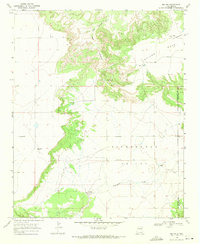
1968 · Ima NW
USGS Topo · 1:24,000
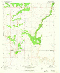
1968 · Ima SW
USGS Topo · 1:24,000
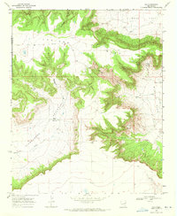
1968 · Ima
USGS Topo · 1:24,000
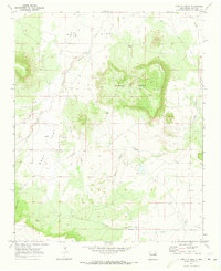
1970 · Circles S Mesa
USGS Topo · 1:24,000