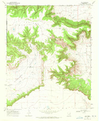
1968 Map of Ima
USGS Topo · Published 1972About this map
Luciano Mesa dominates the northern half of this landscape, its steep escarpments dropping sharply into the wide Alamogordo Valley below. This late-1960s survey documents a quiet ranching region on the boundary of Quay and Guadalupe Counties, where human activity is concentrated at the Ima (Site) and the nearby Merrill Ranch. The drainage pattern is defined by a series of branching systems like Darnell Canyon and Taylor Canyon that feed toward the south, while the broad, level surfaces of Ogle Flat and West Flat occupy the high ground in the east. Traces of local utility and transport are visible in the network of unimproved roads and fence lines that crisscross the terrain, connecting isolated water sources such as the Water Tank and several small, unnamed reservoirs used for livestock in this arid environment.
Find a feature on this map
19 named features on this map. Tap any name to fly to it.
Don’t see what you’re looking for? This feature index may not catch every label — zoom into the map to look around manually.
Map Details
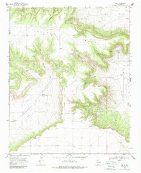
Editions of this 1968 Ima Map
2 editions found
Other maps of this area

1930 · Tucumcari
USGS Topo · 1:125,000

1954 · Santa Fe
USGS Topo · 1:250,000

1954 · Fort Sumner
USGS Topo · 1:250,000

1954 · Tucumcari
USGS Topo · 1:250,000

1954 · Clovis
USGS Topo · 1:250,000

1958 · Fort Sumner
USGS Topo · 1:250,000

1958 · Santa Fe
USGS Topo · 1:250,000

1958 · Clovis
USGS Topo · 1:250,000

1958 · Tucumcari
USGS Topo · 1:250,000

1964 · Gate Canyon
USGS Topo · 1:24,000