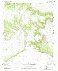
1968 Map of Ima
USGS Topo · Published 1987About this map
Ima (Site) marks the location of a former high-plains settlement along the eastern edge of the Alamogordo Valley, documenting the ranching landscape of the New Mexico plains in the late 1960s. The terrain is defined by the dramatic escarpment of the Luciano Mesa, where numerous drainages such as Sunflower Canyon, Darnell Canyon, and Taylor Canyon have carved deep incisions into the plateau. The survey captures a moment when the community center at Ima had already shifted to a site designation, though surrounding features like Merrill Ranch and a local Gravel Pit indicate continued land use. This area, straddling the boundary of Guadalupe and Quay Counties, shows the high-elevation transition from the tablelands of Ogle Flat down to the creek beds of the Alamogordo Creek system.
Find a feature on this map
22 named features on this map. Tap any name to fly to it.
Don’t see what you’re looking for? This feature index may not catch every label — zoom into the map to look around manually.
Map Details
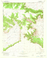
Editions of this 1968 Ima Map
2 editions found
Other maps of this area

1930 · Tucumcari
USGS Topo · 1:125,000

1954 · Santa Fe
USGS Topo · 1:250,000

1954 · Fort Sumner
USGS Topo · 1:250,000

1954 · Tucumcari
USGS Topo · 1:250,000

1954 · Clovis
USGS Topo · 1:250,000

1958 · Fort Sumner
USGS Topo · 1:250,000

1958 · Santa Fe
USGS Topo · 1:250,000

1958 · Clovis
USGS Topo · 1:250,000

1958 · Tucumcari
USGS Topo · 1:250,000

1964 · Gate Canyon
USGS Topo · 1:24,000