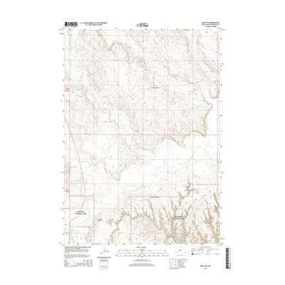
2015 Map of Imlay SW
USGS Topo · Published 2015About this map
Badlands National Park dominates the southern landscape of this 2015 survey, where the intricate, eroded terrain typical of the region gives way to the drainage basin of the White River. This waterway and its tributaries, including Spring Creek and Cottonwood Creek, carve through the high plains, illustrating the intersection of the Missouri Plateau and the unique geology of the Badlands. In the southwestern corner, the Saint Mary Magdalene Cemetery sits near the headwaters of Porcupine Creek, providing a significant point of reference for local family history and genealogy. The presence of Temple Rd serves as one of the primary conduits across this sparsely populated area, connecting the various drainage divides between Wind Creek and Big Hollow Creek.
Find a feature on this map
13 named features on this map. Tap any name to fly to it.
Don’t see what you’re looking for? This feature index may not catch every label — zoom into the map to look around manually.
Map Details
Editions of this 2015 Imlay SW Map
This is the sole edition of this map. No revisions or reprints were ever made.
Other maps of this area

1950 · Sheep Mountain Table
USGS Topo · 1:24,000

1950 · Stirk Table
USGS Topo · 1:24,000

1950 · Imlay SW
USGS Topo · 1:24,000

1950 · Imlay
USGS Topo · 1:24,000

1950 · Imlay SE
USGS Topo · 1:24,000

1950 · Bouquet Table
USGS Topo · 1:24,000

1951 · Sharps Corner
USGS Topo · 1:24,000

1951 · Rockyford
USGS Topo · 1:24,000

1952 · Bouquet Table
USGS Topo · 1:24,000

1955 · Hot Springs
USGS Topo · 1:250,000