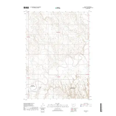
2017 Map of Imlay SW
USGS Topo · Published 2017About this map
Badlands National Park dominates the southern landscape of this Oglala Lakota County survey, where the eroded topography meets the winding course of the White River. The river forms a complex network of oxbows and sharp meanders through the central terrain, fed by numerous intermittent drainages including Spring Creek and Cottonwood Creek. This area of the Pine Ridge Reservation is marked by significant cultural and geographical landmarks, such as the Saint Mary Magdalene Cemetery located just north of the Porcupine Creek confluence. Higher elevations like Stirk Table provide a stark contrast to the low-lying river valley. Transportation across this rural expanse is facilitated by BIA Highway 27 and BIA Highway 2, which connect isolated homesteads and tribal lands within the rugged badlands environment.
Find a feature on this map
16 named features on this map. Tap any name to fly to it.
Don’t see what you’re looking for? This feature index may not catch every label — zoom into the map to look around manually.
Map Details
Editions of this 2017 Imlay SW Map
This is the sole edition of this map. No revisions or reprints were ever made.
Other maps of this area
1950 · Sheep Mountain Table
USGS Topo · 1:24,000
1950 · Stirk Table
USGS Topo · 1:24,000
1950 · Imlay SW
USGS Topo · 1:24,000
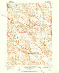
1950 · Imlay
USGS Topo · 1:24,000
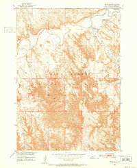
1950 · Imlay SE
USGS Topo · 1:24,000
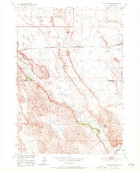
1950 · Bouquet Table
USGS Topo · 1:24,000
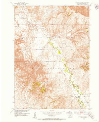
1951 · Sharps Corner
USGS Topo · 1:24,000
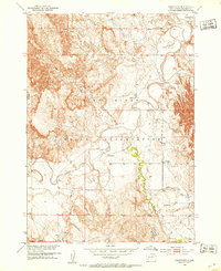
1951 · Rockyford
USGS Topo · 1:24,000
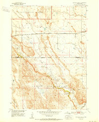
1952 · Bouquet Table
USGS Topo · 1:24,000

1955 · Hot Springs
USGS Topo · 1:250,000