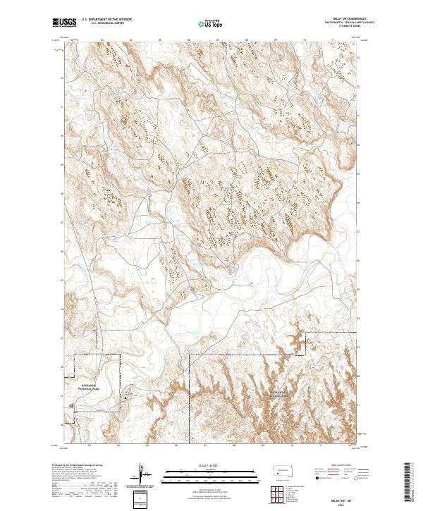
2021 Map of Imlay SW
USGS Topo · Published 2021About this map
The meandering White River carves a deep path through the southern reaches of this landscape, defining the hydrological character of the region. Much of the southern terrain is preserved within Badlands National Park, where the intricate erosion patterns of the badlands formations contrast with the more open drainage basins to the north. These northern plains are fed by numerous tributaries including Spring Cr, Wind Cr, and Big Hollow Cr, which form a complex network of seasonal watercourses.
Find a feature on this map
13 named features on this map. Tap any name to fly to it.
Don’t see what you’re looking for? This feature index may not catch every label — zoom into the map to look around manually.
Map Details
Editions of this 2021 Imlay SW Map
This is the sole edition of this map. No revisions or reprints were ever made.
Other maps of this area

1950 · Sheep Mountain Table
USGS Topo · 1:24,000

1950 · Stirk Table
USGS Topo · 1:24,000

1950 · Imlay SW
USGS Topo · 1:24,000

1950 · Imlay
USGS Topo · 1:24,000

1950 · Imlay SE
USGS Topo · 1:24,000

1950 · Bouquet Table
USGS Topo · 1:24,000

1951 · Sharps Corner
USGS Topo · 1:24,000

1951 · Rockyford
USGS Topo · 1:24,000

1952 · Bouquet Table
USGS Topo · 1:24,000

1955 · Hot Springs
USGS Topo · 1:250,000