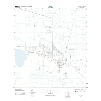
2012 Map of Immokalee
USGS Topo · Published 2012About this map
Immokalee serves as a significant hub in the Florida interior, defined by its organized grid and proximity to the waters of Lake Trafford. The 2012 landscape reflects an agricultural and transport-oriented economy, with numerous rural routes such as Wombles Rd, Emerson Grove Rd, and Trafford Farm Rd extending into the surrounding fields. The town center is densely plotted around the Po and the prominent Immokalee Tower, while the Immokalee Regional Airport occupies a large tract to the east. This era shows the continued importance of the Experimental Rd and the development around Bunker Hill, illustrating how the community has structured itself around both its natural water resources and the expansive agricultural industry of Collier County.
Find a feature on this map
88 named features on this map. Tap any name to fly to it.
Don’t see what you’re looking for? This feature index may not catch every label — zoom into the map to look around manually.
Map Details
Editions of this 2012 Immokalee Map
This is the sole edition of this map. No revisions or reprints were ever made.
Other maps of this area

1956 · West Palm Beach
USGS Topo · 1:250,000

1957 · West Palm Beach
USGS Topo · 1:250,000

1958 · West Palm Beach
USGS Topo · 1:250,000

1958 · Corkscrew SE
USGS Topo · 1:24,000

1958 · Felda SE
USGS Topo · 1:24,000

1958 · Immokalee
USGS Topo · 1:24,000

1958 · Felda
USGS Topo · 1:24,000

1958 · Sunniland
USGS Topo · 1:24,000

1958 · Immokalee NE
USGS Topo · 1:24,000

1958 · Immokalee SW
USGS Topo · 1:24,000