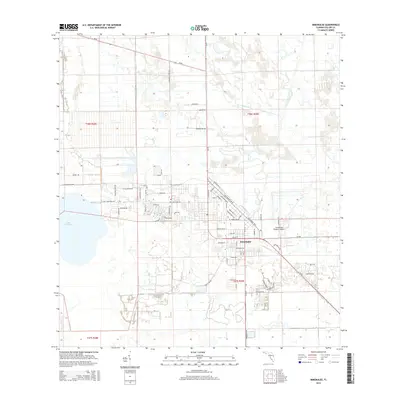
2015 Map of Immokalee
USGS Topo · Published 2015About this map
Immokalee serves as a central hub for agricultural and logistical operations in this portion of Collier County. The town layout is defined by a dense grid of residential and commercial streets such as Lincoln Blvd, New Market Rd W, and Jefferson Ave W, bordering the significant Immokalee Regional Airport to the east. The landscape west of the town center is dominated by Lake Trafford, a major water body that influences local drainage and land use patterns. This 2015 survey reveals a terrain heavily modified for transit and industry, with a network of rural routes including SR-82, Edwards Grove Rd, and Experimental Rd cutting through the surrounding wetlands and fields. The presence of specialized infrastructure like Trafford Farm Rd and Lake Trafford Rd highlights the area's transition from open Florida wilderness to a structured agricultural and residential corridor.
Find a feature on this map
56 named features on this map. Tap any name to fly to it.
Don’t see what you’re looking for? This feature index may not catch every label — zoom into the map to look around manually.
Map Details
Editions of this 2015 Immokalee Map
This is the sole edition of this map. No revisions or reprints were ever made.
Other maps of this area

1956 · West Palm Beach
USGS Topo · 1:250,000

1957 · West Palm Beach
USGS Topo · 1:250,000

1958 · West Palm Beach
USGS Topo · 1:250,000
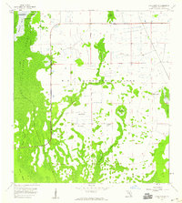
1958 · Corkscrew SE
USGS Topo · 1:24,000
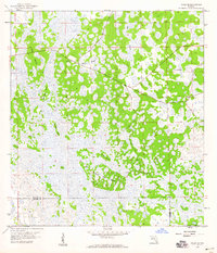
1958 · Felda SE
USGS Topo · 1:24,000
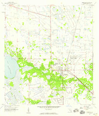
1958 · Immokalee
USGS Topo · 1:24,000
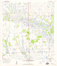
1958 · Felda
USGS Topo · 1:24,000
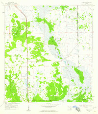
1958 · Sunniland
USGS Topo · 1:24,000
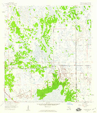
1958 · Immokalee NE
USGS Topo · 1:24,000
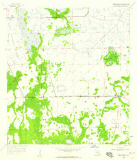
1958 · Immokalee SW
USGS Topo · 1:24,000