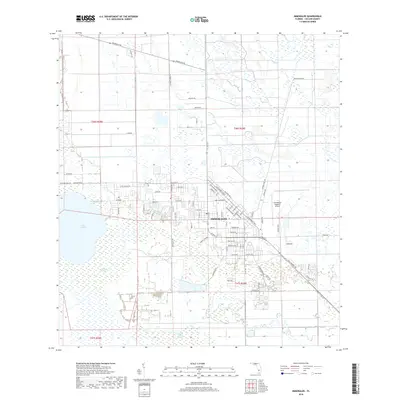
2018 Map of Immokalee
USGS Topo · Published 2018About this map
Immokalee serves as the focal point of this 2018 survey, positioned at the intersection of a dense local road network and agricultural landscape. The township is characterized by a grid of residential streets such as W Main St, Roberts Ave, and Indian Camp Rd, while the Immokalee Regional Airport anchors the eastern edge of the settled area. To the west, the significant waters of Lake Trafford transition into the natural conservation environment of the Corkscrew Swamp. Further south, the Baucom Cypress Strand illustrates the region's characteristic wetland drainage patterns. This map documents a unique South Florida community where intensive agriculture, marked by roads like Edwards Grove Rd, meets protected cypress preserves and a growing municipal center.
Find a feature on this map
59 named features on this map. Tap any name to fly to it.
Don’t see what you’re looking for? This feature index may not catch every label — zoom into the map to look around manually.
Map Details
Editions of this 2018 Immokalee Map
This is the sole edition of this map. No revisions or reprints were ever made.
Other maps of this area

1956 · West Palm Beach
USGS Topo · 1:250,000

1957 · West Palm Beach
USGS Topo · 1:250,000

1958 · West Palm Beach
USGS Topo · 1:250,000
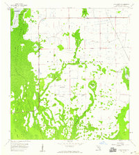
1958 · Corkscrew SE
USGS Topo · 1:24,000
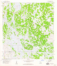
1958 · Felda SE
USGS Topo · 1:24,000
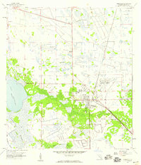
1958 · Immokalee
USGS Topo · 1:24,000
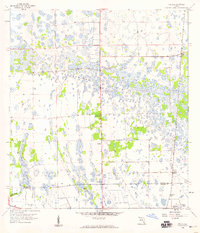
1958 · Felda
USGS Topo · 1:24,000
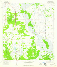
1958 · Sunniland
USGS Topo · 1:24,000
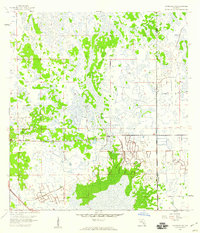
1958 · Immokalee NE
USGS Topo · 1:24,000
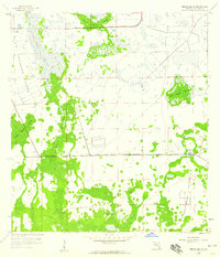
1958 · Immokalee SW
USGS Topo · 1:24,000