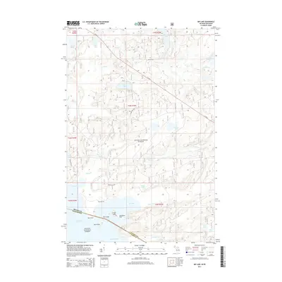
2014 Map of Imp Lake
USGS Topo · Published 2014About this map
The northern borderland of Wisconsin and Michigan centers on the expansive waters of Lac Vieux Desert, where the boundary between Vilas Co and Gogebic Co is delineated. This 2014 survey documents a landscape dominated by the convergence of two major wilderness preserves: the Ottawa National Forest to the north and the Nicolet National Forest to the south. The terrain is defined by a dense network of glacial water bodies, including Imp Lake, Stone Lake, and Tamarack Lake, alongside winding waterways like the S Br Paint River and Taylor Creek.
Find a feature on this map
45 named features on this map. Tap any name to fly to it.
Don’t see what you’re looking for? This feature index may not catch every label — zoom into the map to look around manually.
Map Details
Editions of this 2014 Imp Lake Map
This is the sole edition of this map. No revisions or reprints were ever made.
Other maps of this area

1938 · Phelps
USGS Topo · 1:48,000

1950 · Phelps
USGS Topo · 1:48,000

1952 · Watersmeet
USGS Topo · 1:62,500

1954 · Kenton
USGS Topo · 1:62,500

1956 · Beechwood
USGS Topo · 1:62,500

1956 · Phelps
USGS Topo · 1:62,500

1958 · Iron River
USGS Topo · 1:250,000

1960 · Iron River
USGS Topo · 1:250,000

1961 · Iron River
USGS Topo · 1:250,000

1967 · Iron River
USGS Topo · 1:250,000