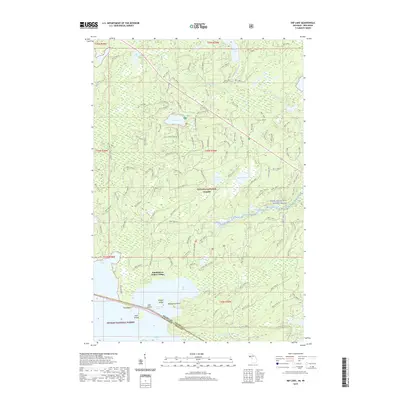
2019 Map of Imp Lake
USGS Topo · Published 2019About this map
Katakitekon Indian Village sits prominently on the northern shore of Lac Vieux Desert, a massive water body straddling the border between Michigan and Wisconsin. This 2019 survey documents the complex geography of the high north woods, where the Ottawa National Forest and Nicolet National Forest meet at the state line. The map highlights a specialized network of forest trails and interpretive sites, such as the Imp Lake Interpretive area and the Scaup Lake Hunter grounds, indicating a landscape managed for both preservation and recreational access. Water defines the region, from the flowing Paint Wild and Scenic River in the east to the isolated reaches of Taylor Lake and Imp Lake further north. Notable terrain features like Draper Island and Desolation Point break the surface of the large border lake, while numerous small creeks like Lobische Creek and Imp Creek weave through the timbered wetlands.
Find a feature on this map
132 named features on this map. Tap any name to fly to it.
Don’t see what you’re looking for? This feature index may not catch every label — zoom into the map to look around manually.
Map Details
Editions of this 2019 Imp Lake Map
This is the sole edition of this map. No revisions or reprints were ever made.
Other maps of this area

1938 · Phelps
USGS Topo · 1:48,000

1950 · Phelps
USGS Topo · 1:48,000

1952 · Watersmeet
USGS Topo · 1:62,500

1954 · Kenton
USGS Topo · 1:62,500

1956 · Beechwood
USGS Topo · 1:62,500

1956 · Phelps
USGS Topo · 1:62,500

1958 · Iron River
USGS Topo · 1:250,000

1960 · Iron River
USGS Topo · 1:250,000

1961 · Iron River
USGS Topo · 1:250,000

1967 · Iron River
USGS Topo · 1:250,000