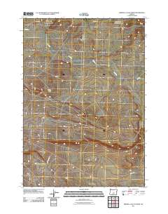
2011 Map of Imperial Valley North
USGS Topo · Published 2011About this map
Imperial Valley is the focal point of this arid high-desert landscape in central Oregon, where the ephemeral winding course of the Dry River provides the primary natural drainage. The area is defined by a sparse network of straight-line section roads and diagonal tracks, indicating a history of large-scale land management and ranching. The topographic relief is punctuated by the rise of Grassy Butte, a prominent landmark that breaks the relatively uniform floor of the valley. A series of secondary routes, including Frederick Butte Rd and Van Lake Rd, weave through the sagebrush-dominated terrain, connecting the isolated interior of the valley with more established corridors like Merrill Rd and Montgomery Rd at the northern periphery.
Find a feature on this map
7 named features on this map. Tap any name to fly to it.
Don’t see what you’re looking for? This feature index may not catch every label — zoom into the map to look around manually.
Map Details
Editions of this 2011 Imperial Valley North Map
This is the sole edition of this map. No revisions or reprints were ever made.
Other maps of this area

1955 · Crescent
USGS Topo · 1:250,000

1957 · Crescent
USGS Topo · 1:250,000

1958 · Crescent
USGS Topo · 1:250,000
1967 · Sugarloaf Butte
USGS Topo · 1:24,000
1967 · Brothers
USGS Topo · 1:24,000
1970 · Crescent
USGS Topo · 1:250,000
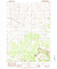
1983 · Soldiers Cap
USGS Topo · 1:24,000
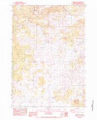
1983 · Pringle Flat
USGS Topo · 1:24,000
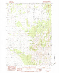
1983 · Hampton Butte
USGS Topo · 1:24,000
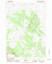
1983 · Imperial Valley South
USGS Topo · 1:24,000