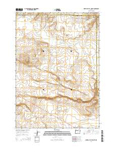
2014 Map of Imperial Valley North
USGS Topo · Published 2014About this map
Imperial Valley occupies the southern reaches of this high desert landscape, characterized by the winding path of the Dry River as it traverses the northern and central sections of the survey. The terrain is largely defined by open expanses and volcanic features, most notably Grassy Butte, which rises as a distinct landmark in the western portion of the quadrangle. The map captures a moment in the early 21st century when transportation in this part of Central Oregon remained focused on the primary artery of Us-20, supported by a network of rural routes including Camp Creek Rd and Merrill Rd.
Find a feature on this map
15 named features on this map. Tap any name to fly to it.
Don’t see what you’re looking for? This feature index may not catch every label — zoom into the map to look around manually.
Map Details
Editions of this 2014 Imperial Valley North Map
This is the sole edition of this map. No revisions or reprints were ever made.
Other maps of this area

1955 · Crescent
USGS Topo · 1:250,000

1957 · Crescent
USGS Topo · 1:250,000

1958 · Crescent
USGS Topo · 1:250,000
1967 · Sugarloaf Butte
USGS Topo · 1:24,000
1967 · Brothers
USGS Topo · 1:24,000
1970 · Crescent
USGS Topo · 1:250,000
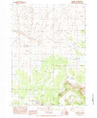
1983 · Soldiers Cap
USGS Topo · 1:24,000
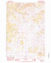
1983 · Pringle Flat
USGS Topo · 1:24,000
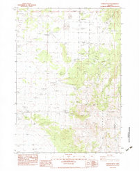
1983 · Hampton Butte
USGS Topo · 1:24,000
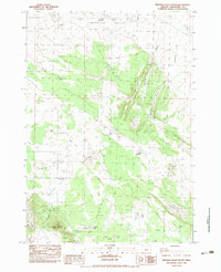
1983 · Imperial Valley South
USGS Topo · 1:24,000