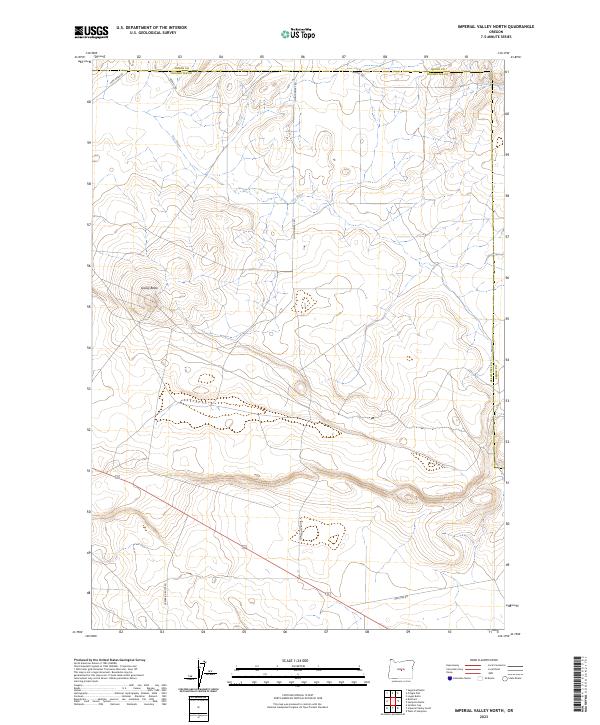
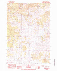
2023 Map of Imperial Valley North
USGS Topo · Published 2023About this map
Dry River winds through this high desert terrain along the border of Crook and Deschutes counties. The landscape is defined by its volcanic geology and open rangeland, centered on prominent landforms like Grassy Butte. Modern infrastructure follows the path of older ranching corridors, with routes such as Camp Creek Rd and Merrill Rd providing access to this isolated interior. The map illustrates a typical section of the Oregon high plateau where water features are often intermittent and the road network, including Montgomery Rd and Van Lake Rd, connects sparse landmarks across the township and range grid.
Find a feature on this map
14 named features on this map. Tap any name to fly to it.
Don’t see what you’re looking for? This feature index may not catch every label — zoom into the map to look around manually.
Map Details
Editions of this 2023 Imperial Valley North Map
This is the sole edition of this map. No revisions or reprints were ever made.
Other maps of this area

1955 · Crescent
USGS Topo · 1:250,000

1957 · Crescent
USGS Topo · 1:250,000

1958 · Crescent
USGS Topo · 1:250,000
1967 · Sugarloaf Butte
USGS Topo · 1:24,000
1967 · Brothers
USGS Topo · 1:24,000

1970 · Crescent
USGS Topo · 1:250,000
1983 · Soldiers Cap
USGS Topo · 1:24,000
1983 · Pringle Flat
USGS Topo · 1:24,000

1983 · Hampton Butte
USGS Topo · 1:24,000

1983 · Imperial Valley South
USGS Topo · 1:24,000