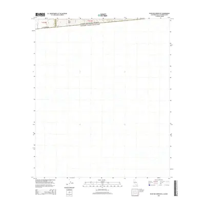
2015 Map of In-Ko-Pah Gorge OE S
USGS Topo · Published 2015About this map
The international boundary between United States of America and Estados Unidos Mexicanos defines the northern edge of this landscape, situated south of the border near La Rumorosa. Dominating the high terrain in the northwestern corner of the sheet is Blue Angels Peak, a prominent landmark along the crest that transitions from San Diego Co into Imperial Co. This 2015 survey reveals the sparse, high-elevation topography of the California-Baja California Norte region, where the Public Land Survey System divisions of t18s r8e and t18s r9e meet the political line of the border. The map provides a clear view of the drainage patterns and desert terrain as it descends southward from the international divide into Mexico.
Find a feature on this map
6 named features on this map. Tap any name to fly to it.
Don’t see what you’re looking for? This feature index may not catch every label — zoom into the map to look around manually.
Map Details
Editions of this 2015 In-Ko-Pah Gorge OE S Map
This is the sole edition of this map. No revisions or reprints were ever made.
Other maps of this area
1915 · El Centro
USGS Topo · 1:125,000
1931 · Carrizo
USGS Topo · 1:125,000
1939 · Jacumba
USGS Topo · 1:62,500
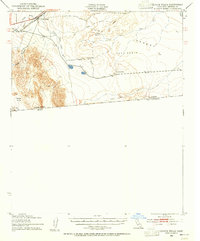
1940 · Coyote Wells
USGS Topo · 1:62,500
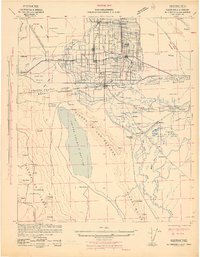
1942 · El Centro
USGS Topo · 1:250,000
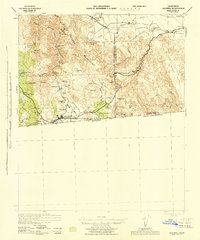
1942 · Jacumba
USGS Topo · 1:62,500
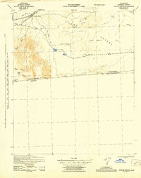
1943 · Coyote Wells
USGS Topo · 1:62,500
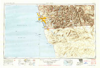
1950 · San Diego
USGS Topo · 1:250,000
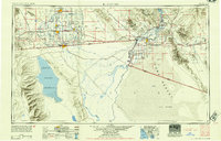
1954 · El Centro
USGS Topo · 1:250,000
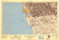
1954 · San Diego
USGS Topo · 1:250,000